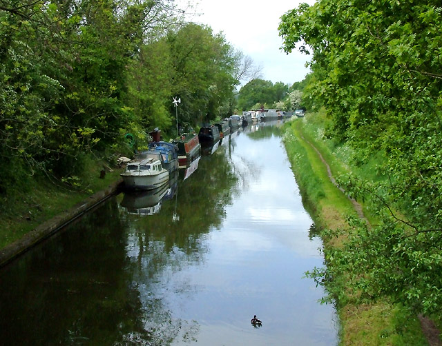
Shropshire Union Canal north of Wheaton Aston, Staffordshire
Introduction
The photograph on this page of Shropshire Union Canal north of Wheaton Aston, Staffordshire by Roger D Kidd as part of the Geograph project.
The Geograph project started in 2005 with the aim of publishing, organising and preserving representative images for every square kilometre of Great Britain, Ireland and the Isle of Man.
There are currently over 7.5m images from over 14,400 individuals and you can help contribute to the project by visiting https://www.geograph.org.uk

Image: © Roger D Kidd Taken: 20 May 2009
Engineered by Thomas Telford. There are long straight sections of this canal which required either embankments or cuttings to avoid the need for locks. Although this was a more difficult procedure, the end route was shorter and the speed for horse drawn working boats could be maintained with (hopefully) no stoppages. The canal (formerly the Birmingham and Liverpool Junction Canal) was opened in 1835 at a time when railways were making serious inroads into the canal companies' businesses.

