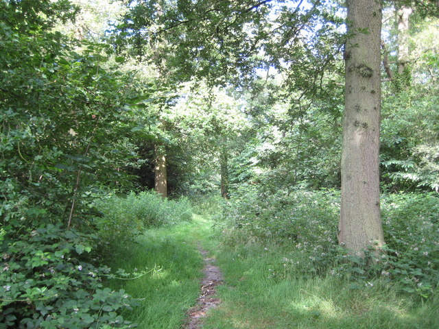
Oxhey Woods: London Loop long distance walk
Introduction
The photograph on this page of Oxhey Woods: London Loop long distance walk by Nigel Cox as part of the Geograph project.
The Geograph project started in 2005 with the aim of publishing, organising and preserving representative images for every square kilometre of Great Britain, Ireland and the Isle of Man.
There are currently over 7.5m images from over 14,400 individuals and you can help contribute to the project by visiting https://www.geograph.org.uk

Image: © Nigel Cox Taken: 28 Jun 2009
The London Loop is an approximate 240 kilometre or 150 mile circular walking route around London broken only across the River Thames between Purfleet in Essex and Erith in Kent. This footpath through Oxhey Woods is in Section 14 between Moor Park and Hatch End. It is marked with solid red diamonds on the Ordnance Survey's 1:50,000 scale mapping and by solid green ones on the 1:25,000 scale.

