Bedford roofscape, Allhallows (3)
Introduction
The photograph on this page of Bedford roofscape, Allhallows (3) by Rich Tea as part of the Geograph project.
The Geograph project started in 2005 with the aim of publishing, organising and preserving representative images for every square kilometre of Great Britain, Ireland and the Isle of Man.

There are currently over 7.5m images from over 14,400 individuals and you can help contribute to the project by visiting https://www.geograph.org.uk
Bedford roofscape, Allhallows (3)
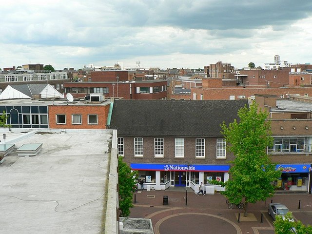
Image: © Rich Tea Taken: 19 Jun 2009
From the top of the Allhallows car park, we can see the tops of buildings on each side of Allhallows, and the junction with Greenhill Street. Beyond are the backs of buildings on Harpur Street which runs parallel to Allhallows. For a view to the left of this one see Image] For a view to the right of this one see Image]
Images are licensed for reuse under creativecommons.org/licenses/by-sa/2.0
Image Location
Latitude
52.137721
Longitude
-0.468825