Queens Terrace, St. Andrews
Introduction
The photograph on this page of Queens Terrace, St. Andrews by Dean Molyneaux as part of the Geograph project.
The Geograph project started in 2005 with the aim of publishing, organising and preserving representative images for every square kilometre of Great Britain, Ireland and the Isle of Man.

There are currently over 7.5m images from over 14,400 individuals and you can help contribute to the project by visiting https://www.geograph.org.uk
Queens Terrace, St. Andrews
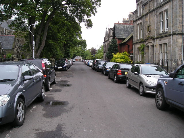
Image: © Dean Molyneaux Taken: 27 Jun 2009
This is Queens Terrace looking east. The Episcopalian church can be seen on the left.
Images are licensed for reuse under creativecommons.org/licenses/by-sa/2.0
Image Location
Latitude
56.336959
Longitude
-2.795285