Ansty: telephone box at Higher Ansty
Introduction
The photograph on this page of Ansty: telephone box at Higher Ansty by Chris Downer as part of the Geograph project.
The Geograph project started in 2005 with the aim of publishing, organising and preserving representative images for every square kilometre of Great Britain, Ireland and the Isle of Man.

There are currently over 7.5m images from over 14,400 individuals and you can help contribute to the project by visiting https://www.geograph.org.uk
Ansty: telephone box at Higher Ansty
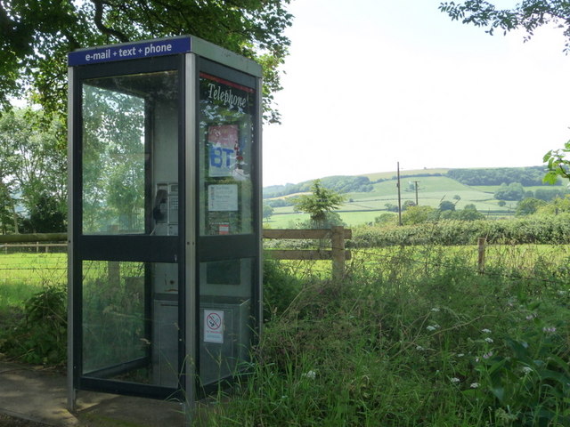
Image: © Chris Downer Taken: 27 Jun 2009
This phone box is in the small cul-de-sac called Brightsmead and stands with its back to fine views across the fields of Hilton parish, in which Ansty is situated.
Images are licensed for reuse under creativecommons.org/licenses/by-sa/2.0
Image Location
Latitude
50.834342
Longitude
-2.330673