Steep path leading to underpass
Introduction
The photograph on this page of Steep path leading to underpass by Thomas Nugent as part of the Geograph project.
The Geograph project started in 2005 with the aim of publishing, organising and preserving representative images for every square kilometre of Great Britain, Ireland and the Isle of Man.

There are currently over 7.5m images from over 14,400 individuals and you can help contribute to the project by visiting https://www.geograph.org.uk
Steep path leading to underpass
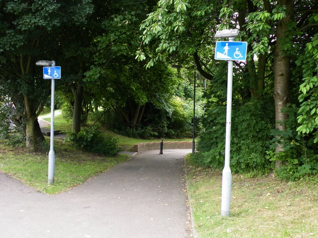
Image: © Thomas Nugent Taken: 22 Jun 2009
The signs say it all! The underpass is at the Vauxhall Way/Crawley Green Road roundabout.
Images are licensed for reuse under creativecommons.org/licenses/by-sa/2.0
Image Location
Latitude
51.887146
Longitude
-0.389298