Moor Lane, Birkenshaw
Introduction
The photograph on this page of Moor Lane, Birkenshaw by Humphrey Bolton as part of the Geograph project.
The Geograph project started in 2005 with the aim of publishing, organising and preserving representative images for every square kilometre of Great Britain, Ireland and the Isle of Man.

There are currently over 7.5m images from over 14,400 individuals and you can help contribute to the project by visiting https://www.geograph.org.uk
Moor Lane, Birkenshaw
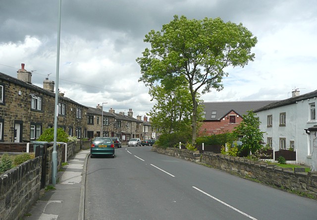
Image: © Humphrey Bolton Taken: 18 Jun 2009
Birkenshaw Bottoms is an old hamlet, at one time associated with a textile mill 200m to the west (now redeveloped as a housing estate).
Images are licensed for reuse under creativecommons.org/licenses/by-sa/2.0
Image Location
Latitude
53.745257
Longitude
-1.683061