Greyfriars, Bedford
Introduction
The photograph on this page of Greyfriars, Bedford by Rich Tea as part of the Geograph project.
The Geograph project started in 2005 with the aim of publishing, organising and preserving representative images for every square kilometre of Great Britain, Ireland and the Isle of Man.

There are currently over 7.5m images from over 14,400 individuals and you can help contribute to the project by visiting https://www.geograph.org.uk
Greyfriars, Bedford
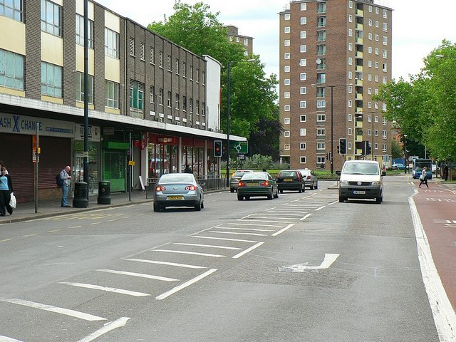
Image: © Rich Tea Taken: 19 Jun 2009
Looking north from the junction with Midland Road. The far end of the building on the left originally housed a Safeway supermarket, opened in the 1960's.
Images are licensed for reuse under creativecommons.org/licenses/by-sa/2.0
Image Location
Latitude
52.136502
Longitude
-0.471936