Lochmaben Bowling Green
Introduction
The photograph on this page of Lochmaben Bowling Green by Walter Baxter as part of the Geograph project.
The Geograph project started in 2005 with the aim of publishing, organising and preserving representative images for every square kilometre of Great Britain, Ireland and the Isle of Man.

There are currently over 7.5m images from over 14,400 individuals and you can help contribute to the project by visiting https://www.geograph.org.uk
Lochmaben Bowling Green
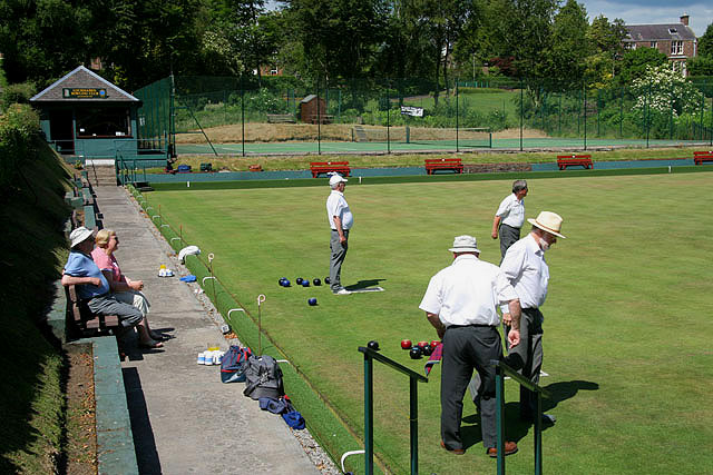
Image: © Walter Baxter Taken: 24 Jun 2009
At the south end of the town on the east side of the B7020. Play is in progress on a beautiful June afternoon.
Images are licensed for reuse under creativecommons.org/licenses/by-sa/2.0
Image Location
Latitude
55.125409
Longitude
-3.437986