Platters Farm Lodge Linked Service Centre
Introduction
The photograph on this page of Platters Farm Lodge Linked Service Centre by Penny Mayes as part of the Geograph project.
The Geograph project started in 2005 with the aim of publishing, organising and preserving representative images for every square kilometre of Great Britain, Ireland and the Isle of Man.

There are currently over 7.5m images from over 14,400 individuals and you can help contribute to the project by visiting https://www.geograph.org.uk
Platters Farm Lodge Linked Service Centre
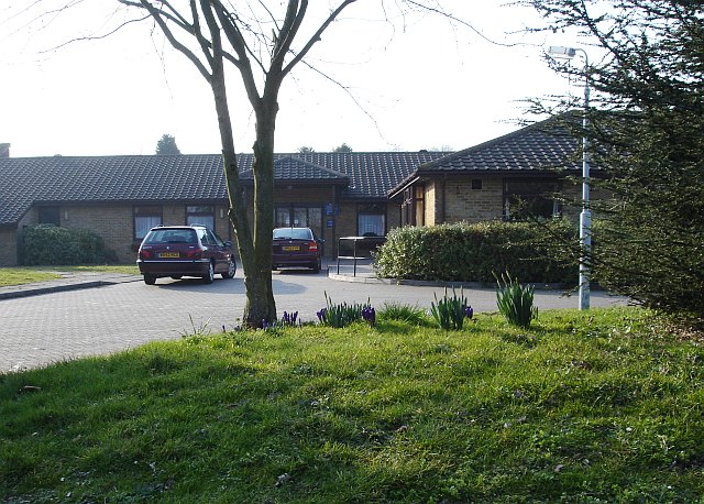
Image: © Penny Mayes Taken: 15 Mar 2006
Well, that's what the sign said... I think it's a day-care centre and it stands just south of Rainham Girls School.
Images are licensed for reuse under creativecommons.org/licenses/by-sa/2.0
Image Location


Leaflet Map data © OpenStreetMap
Latitude
51.358992
Longitude
0.591126