Derelict Housing, Whinney Banks
Introduction
The photograph on this page of Derelict Housing, Whinney Banks by Mick Garratt as part of the Geograph project.
The Geograph project started in 2005 with the aim of publishing, organising and preserving representative images for every square kilometre of Great Britain, Ireland and the Isle of Man.

There are currently over 7.5m images from over 14,400 individuals and you can help contribute to the project by visiting https://www.geograph.org.uk
Derelict Housing, Whinney Banks
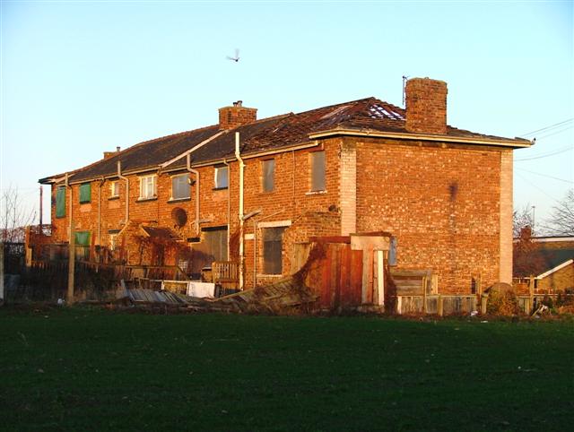
Image: © Mick Garratt Taken: 20 Jan 2006
The whole area is being developed into a mixed residential of privately owned and affordable housing.
Images are licensed for reuse under creativecommons.org/licenses/by-sa/2.0
Image Location
Latitude
54.561284
Longitude
-1.26233