Church path
Introduction
The photograph on this page of Church path by Richard Croft as part of the Geograph project.
The Geograph project started in 2005 with the aim of publishing, organising and preserving representative images for every square kilometre of Great Britain, Ireland and the Isle of Man.

There are currently over 7.5m images from over 14,400 individuals and you can help contribute to the project by visiting https://www.geograph.org.uk
Church path
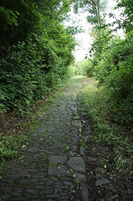
Image: © Richard Croft Taken: 11 Jun 2009
Ancient overgrown path to the ruined church of St.Mary the Virgin http://www.geograph.org.uk/photo/1352150
Images are licensed for reuse under creativecommons.org/licenses/by-sa/2.0
Image Location
Latitude
51.696504
Longitude
-2.680552