The track to Sancton
Introduction
The photograph on this page of The track to Sancton by Dr Patty McAlpin as part of the Geograph project.
The Geograph project started in 2005 with the aim of publishing, organising and preserving representative images for every square kilometre of Great Britain, Ireland and the Isle of Man.

There are currently over 7.5m images from over 14,400 individuals and you can help contribute to the project by visiting https://www.geograph.org.uk
The track to Sancton
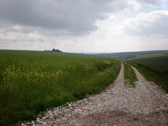
Image: © Dr Patty McAlpin Taken: 21 Jun 2009
This is the start of the track to Sancton, passing Sancton Wold and Noddles Hill, (visible in the distance at centre left and right, respectively) before it becomes Dale Road (but still just a track!).
Images are licensed for reuse under creativecommons.org/licenses/by-sa/2.0
Image Location
Latitude
53.857515
Longitude
-0.593462