SKYport exchange
Introduction
The photograph on this page of SKYport exchange by Roger W Haworth as part of the Geograph project.
The Geograph project started in 2005 with the aim of publishing, organising and preserving representative images for every square kilometre of Great Britain, Ireland and the Isle of Man.

There are currently over 7.5m images from over 14,400 individuals and you can help contribute to the project by visiting https://www.geograph.org.uk
SKYport exchange
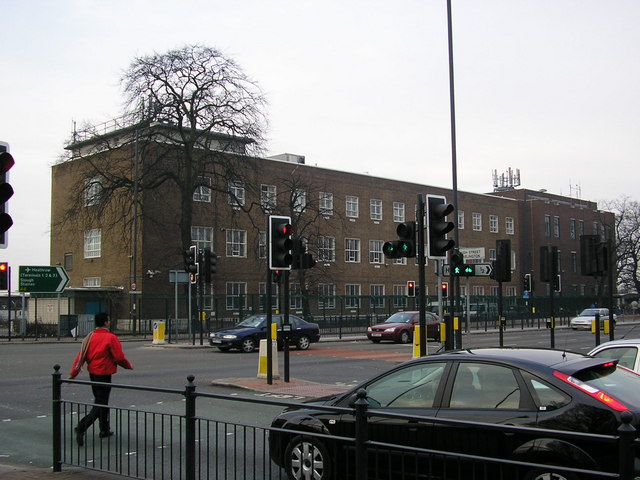
Image: © Roger W Haworth Taken: 14 Mar 2006
The London Director telephone area (that is director not directory http://www.rhaworth.myby.co.uk/phreak/tenp_uk.htm#dirdefn ) was rigidly defined as all exchanges within 12½ miles of Oxford Circus - with one exception: SKYport exchange serving Heathrow and Harlington is, by my measurement, 12.757 miles (20.53 km) from Oxford Circus. They bent the boundary because of the high traffic volumes between the airport and central London. The exchange, seen here from outside Image is on the corner of the Bath Road and North Hatton Road.
Images are licensed for reuse under creativecommons.org/licenses/by-sa/2.0
Image Location
Latitude
51.479704
Longitude
-0.434654