Track below Fron Hen
Introduction
The photograph on this page of Track below Fron Hen by John S Turner as part of the Geograph project.
The Geograph project started in 2005 with the aim of publishing, organising and preserving representative images for every square kilometre of Great Britain, Ireland and the Isle of Man.

There are currently over 7.5m images from over 14,400 individuals and you can help contribute to the project by visiting https://www.geograph.org.uk
Track below Fron Hen
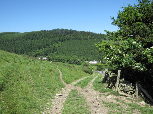
Image: © John S Turner Taken: 24 Jun 2009
A view from the old trackway that skirts around Fron Hen. The houses in the valley are alongside the road that heads towards Bwlch pen Barras; Coed Moel Famau is behind the houses. The flat stone at the very end of the stone wall carries a rivet bench mark - see Image
Images are licensed for reuse under creativecommons.org/licenses/by-sa/2.0
Image Location
Latitude
53.138932
Longitude
-3.225905