Figsbury Ring
Introduction
The photograph on this page of Figsbury Ring by Maigheach-gheal as part of the Geograph project.
The Geograph project started in 2005 with the aim of publishing, organising and preserving representative images for every square kilometre of Great Britain, Ireland and the Isle of Man.

There are currently over 7.5m images from over 14,400 individuals and you can help contribute to the project by visiting https://www.geograph.org.uk
Figsbury Ring
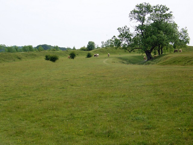
Image: © Maigheach-gheal Taken: 25 Jun 2009
The hill fort covers some 15.5 acres with original entrances to the east and west. The fort has a single rampart, up to 4m high. A ditch in the interior is clearly unfinished and may have provided material for the rampart.
Images are licensed for reuse under creativecommons.org/licenses/by-sa/2.0
Image Location
Latitude
51.104367
Longitude
-1.733575