Maidenhead High St
Introduction
The photograph on this page of Maidenhead High St by Martyn Davies as part of the Geograph project.
The Geograph project started in 2005 with the aim of publishing, organising and preserving representative images for every square kilometre of Great Britain, Ireland and the Isle of Man.

There are currently over 7.5m images from over 14,400 individuals and you can help contribute to the project by visiting https://www.geograph.org.uk
Maidenhead High St
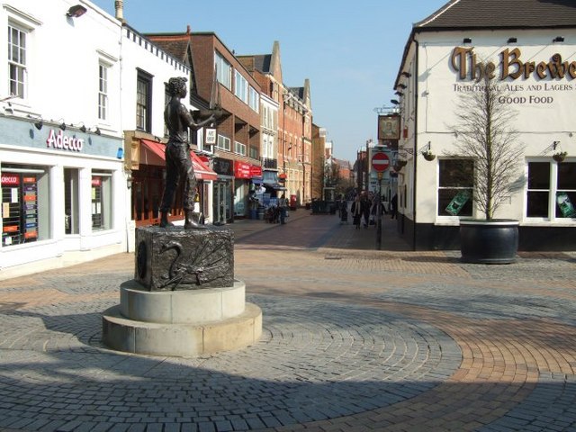
Image: © Martyn Davies Taken: 15 Mar 2006
The Western end is pedestrianized. In the foreground is a sculpture called "Maidenhead Boy", and beyond "The Brewers" pub, and further away the Post Office (left) and Cresset Towers ( right, see also Image )
Images are licensed for reuse under creativecommons.org/licenses/by-sa/2.0
Image Location
Latitude
51.521878
Longitude
-0.724372