Rampart, Figsbury Rings
Introduction
The photograph on this page of Rampart, Figsbury Rings by Maigheach-gheal as part of the Geograph project.
The Geograph project started in 2005 with the aim of publishing, organising and preserving representative images for every square kilometre of Great Britain, Ireland and the Isle of Man.

There are currently over 7.5m images from over 14,400 individuals and you can help contribute to the project by visiting https://www.geograph.org.uk
Rampart, Figsbury Rings
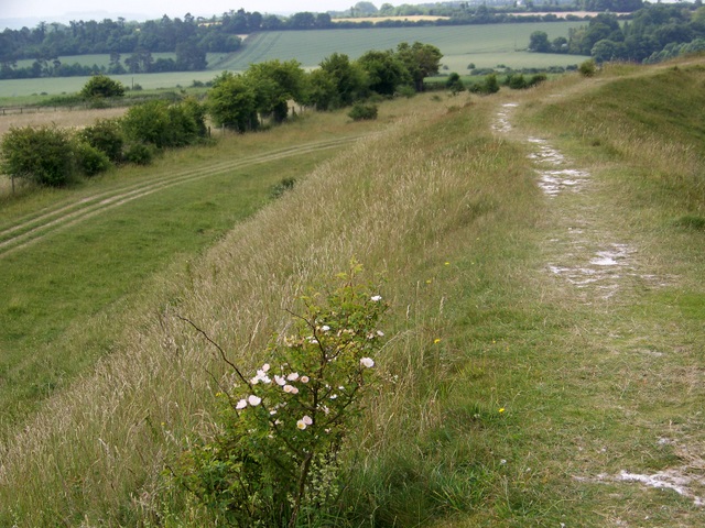
Image: © Maigheach-gheal Taken: 25 Jun 2009
The ramparts are up to 4 metres high in places. The area grassland on a chalk ridge is part of a larger SSSI.
Images are licensed for reuse under creativecommons.org/licenses/by-sa/2.0
Image Location
Latitude
51.103002
Longitude
-1.73064