Faint traces of the ironstone railway at High Leys
Introduction
The photograph on this page of Faint traces of the ironstone railway at High Leys by John Sutton as part of the Geograph project.
The Geograph project started in 2005 with the aim of publishing, organising and preserving representative images for every square kilometre of Great Britain, Ireland and the Isle of Man.

There are currently over 7.5m images from over 14,400 individuals and you can help contribute to the project by visiting https://www.geograph.org.uk
Faint traces of the ironstone railway at High Leys
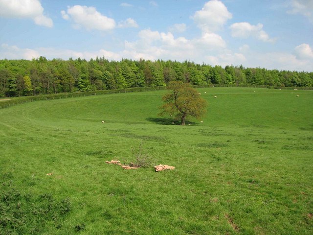
Image: © John Sutton Taken: 29 Apr 2009
The Waltham Iron Ore Co Ltd built a metre-gauge railway from the end of the standard gauge Eaton Branch (SK791309) to a number of quarries on the Terrace Hills, near Knipton Reservoir and at High Leys. The High Leys quarry was behind the trees and Granby and Harts quarries away to the right. The trackbed of the narrow-gauge railway can be seen as a curving line in the field, just below the Knipton road hedge. Ploughing has almost removed the embankment where the line followed the bend in the road, but it can still be made out in the centre left of this picture. The narrow-gauge railway operated from 1886-1958, and from 1936 on was probably unique in England in having two French locomotives, named "Nantes" and "Cambrai", the second of which is preserved at the Irchester Narrow Gauge Railway in Northamptonshire https://web.archive.org/web/20090907032209/http://www.ingrt.freeuk.com/04.htm .
Images are licensed for reuse under creativecommons.org/licenses/by-sa/2.0
Image Location
Latitude
52.881697
Longitude
-0.796142