Evelyn Avenue, Belfast
Introduction
The photograph on this page of Evelyn Avenue, Belfast by Albert Bridge as part of the Geograph project.
The Geograph project started in 2005 with the aim of publishing, organising and preserving representative images for every square kilometre of Great Britain, Ireland and the Isle of Man.

There are currently over 7.5m images from over 14,400 individuals and you can help contribute to the project by visiting https://www.geograph.org.uk
Evelyn Avenue, Belfast
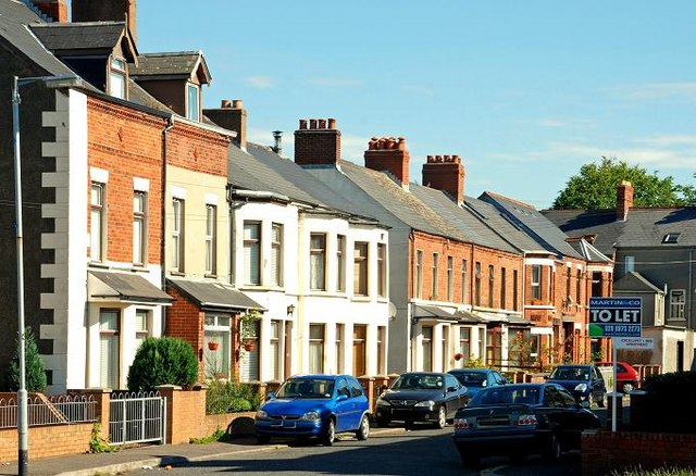
Image: © Albert Bridge Taken: 24 Jun 2009
A street of terrace houses running from the old Belfast and County Down Railway (now the Comber Greenway – behind me) to the Upper Newtownards Road.
Images are licensed for reuse under creativecommons.org/licenses/by-sa/2.0
Image Location
Latitude
54.596416
Longitude
-5.882922