The shingle beach at Whitstable, south-west of the harbour
Introduction
The photograph on this page of The shingle beach at Whitstable, south-west of the harbour by pam fray as part of the Geograph project.
The Geograph project started in 2005 with the aim of publishing, organising and preserving representative images for every square kilometre of Great Britain, Ireland and the Isle of Man.

There are currently over 7.5m images from over 14,400 individuals and you can help contribute to the project by visiting https://www.geograph.org.uk
The shingle beach at Whitstable, south-west of the harbour
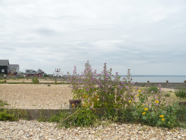
Image: © pam fray Taken: 22 Jun 2009
In the foreground are mallows and yellow horned poppies. In the distance is the Old Neptune public house.
Images are licensed for reuse under creativecommons.org/licenses/by-sa/2.0
Image Location
Latitude
51.357566
Longitude
1.018554