Path on the Embankment
Introduction
The photograph on this page of Path on the Embankment by David Lally as part of the Geograph project.
The Geograph project started in 2005 with the aim of publishing, organising and preserving representative images for every square kilometre of Great Britain, Ireland and the Isle of Man.

There are currently over 7.5m images from over 14,400 individuals and you can help contribute to the project by visiting https://www.geograph.org.uk
Path on the Embankment
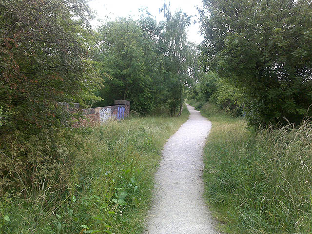
Image: © David Lally Taken: 23 Jun 2009
This path runs along the line of the former Midland Railway line between the northern end of Melton Road and Boundary Road. The line between Nottingham and St Pancras Opened in 1879 but it never got to its centenary, it closed in 1968. Here we are looking south away from the city, the brickwork of the bridge over Devonshire Road can be seen on the left.
Images are licensed for reuse under creativecommons.org/licenses/by-sa/2.0
Image Location
Latitude
52.924884
Longitude
-1.129965