Course of old railway, Donaghadee
Introduction
The photograph on this page of Course of old railway, Donaghadee by Albert Bridge as part of the Geograph project.
The Geograph project started in 2005 with the aim of publishing, organising and preserving representative images for every square kilometre of Great Britain, Ireland and the Isle of Man.

There are currently over 7.5m images from over 14,400 individuals and you can help contribute to the project by visiting https://www.geograph.org.uk
Course of old railway, Donaghadee
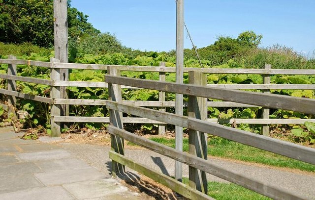
Image: © Albert Bridge Taken: 23 Jun 2009
The old Belfast and County Down line to Donaghadee crossed the Millisle Road under a bridge (removed in the late 1970s) where there was a station called Millisle Road halt (only 65 chains from Donaghadee station Image). After that the line ran through this cutting (now overgrown but marked by the two lines of trees (upper middle)) before reaching here Image This is the north eastern side of the level crossing looking towards what was the terminus. The line closed in 1950.
Images are licensed for reuse under creativecommons.org/licenses/by-sa/2.0
Image Location
Latitude
54.634963
Longitude
-5.531936