Flash flooding on Saxon Road
Introduction
The photograph on this page of Flash flooding on Saxon Road by Martin Speck as part of the Geograph project.
The Geograph project started in 2005 with the aim of publishing, organising and preserving representative images for every square kilometre of Great Britain, Ireland and the Isle of Man.

There are currently over 7.5m images from over 14,400 individuals and you can help contribute to the project by visiting https://www.geograph.org.uk
Flash flooding on Saxon Road
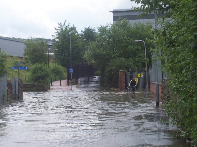
Image: © Martin Speck Taken: 15 Jun 2009
Sheffield was hit by flash floods on 10 June 2009 and again on 15 June, as is shown here. The photo was taken from a road bridge over the River Sheaf, which is some 5m below, at least. The road has become a river flowing over the river below.
Images are licensed for reuse under creativecommons.org/licenses/by-sa/2.0
Image Location
Latitude
53.359913
Longitude
-1.475263