Mill Leat
Introduction
The photograph on this page of Mill Leat by Marion Phillips as part of the Geograph project.
The Geograph project started in 2005 with the aim of publishing, organising and preserving representative images for every square kilometre of Great Britain, Ireland and the Isle of Man.

There are currently over 7.5m images from over 14,400 individuals and you can help contribute to the project by visiting https://www.geograph.org.uk
Mill Leat
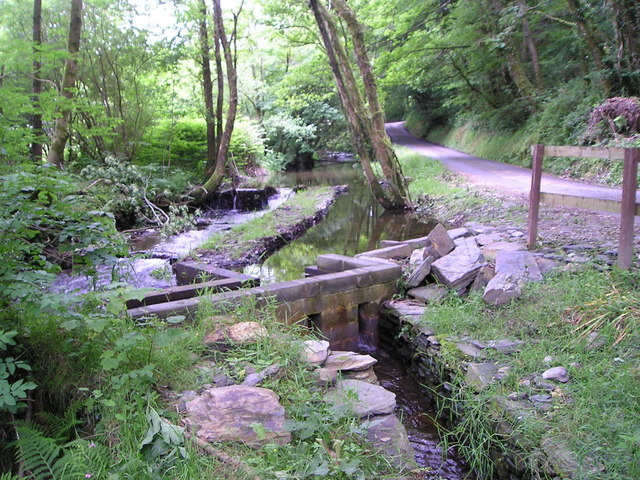
Image: © Marion Phillips Taken: 22 Jun 2009
Weir on the Afon Barddu and recently built sluice gates and mill leat which contours round the hillside to Godremamog Mill.
Images are licensed for reuse under creativecommons.org/licenses/by-sa/2.0
Image Location
Latitude
51.989127
Longitude
-4.487575