The houses at Waterside
Introduction
The photograph on this page of The houses at Waterside by JENNY BRACK as part of the Geograph project.
The Geograph project started in 2005 with the aim of publishing, organising and preserving representative images for every square kilometre of Great Britain, Ireland and the Isle of Man.

There are currently over 7.5m images from over 14,400 individuals and you can help contribute to the project by visiting https://www.geograph.org.uk
The houses at Waterside
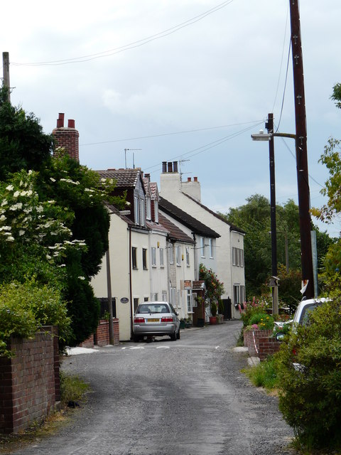
Image: © JENNY BRACK Taken: 18 Jun 2009
Waterside the river Don was once used commercially at least one hundred years before the canal .. these houses show the area near the old jetty now gone ...the once river is now a swampy reed bed.
Images are licensed for reuse under creativecommons.org/licenses/by-sa/2.0
Image Location
Latitude
53.617497
Longitude
-0.982576