Shady grove by Haywards Water
Introduction
The photograph on this page of Shady grove by Haywards Water by Derek Harper as part of the Geograph project.
The Geograph project started in 2005 with the aim of publishing, organising and preserving representative images for every square kilometre of Great Britain, Ireland and the Isle of Man.

There are currently over 7.5m images from over 14,400 individuals and you can help contribute to the project by visiting https://www.geograph.org.uk
Shady grove by Haywards Water
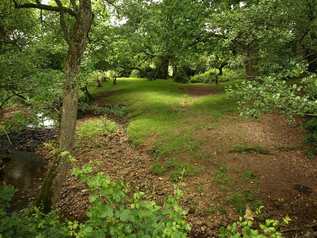
Image: © Derek Harper Taken: 18 Jun 2009
This is on the line of restricted byway WG 17/24 (or WG14/35 on this side of the stream) but the byway is very difficult to follow. Haywards Water is a tributary of the River Tone.
Images are licensed for reuse under creativecommons.org/licenses/by-sa/2.0
Image Location
Latitude
50.973111
Longitude
-3.204031