The Beltoy Road near Carrickfergus (2)
Introduction
The photograph on this page of The Beltoy Road near Carrickfergus (2) by Albert Bridge as part of the Geograph project.
The Geograph project started in 2005 with the aim of publishing, organising and preserving representative images for every square kilometre of Great Britain, Ireland and the Isle of Man.

There are currently over 7.5m images from over 14,400 individuals and you can help contribute to the project by visiting https://www.geograph.org.uk
The Beltoy Road near Carrickfergus (2)
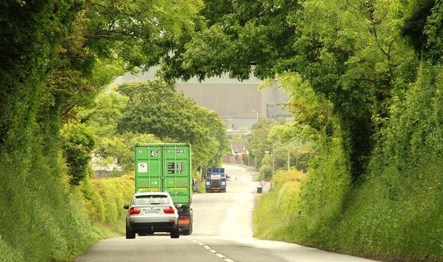
Image: © Albert Bridge Taken: 12 Jun 2009
See Image The view down the road towards the Larne Road at Kilroot. Kilroot power station Image is the structure visible through the over-arching trees. Although a “B” road it does seem to be used by a disproportionately high number of lorries.
Images are licensed for reuse under creativecommons.org/licenses/by-sa/2.0
Image Location
Latitude
54.734892
Longitude
-5.773534