Track To Pervin Farm
Introduction
The photograph on this page of Track To Pervin Farm by Peter Whatley as part of the Geograph project.
The Geograph project started in 2005 with the aim of publishing, organising and preserving representative images for every square kilometre of Great Britain, Ireland and the Isle of Man.

There are currently over 7.5m images from over 14,400 individuals and you can help contribute to the project by visiting https://www.geograph.org.uk
Track To Pervin Farm
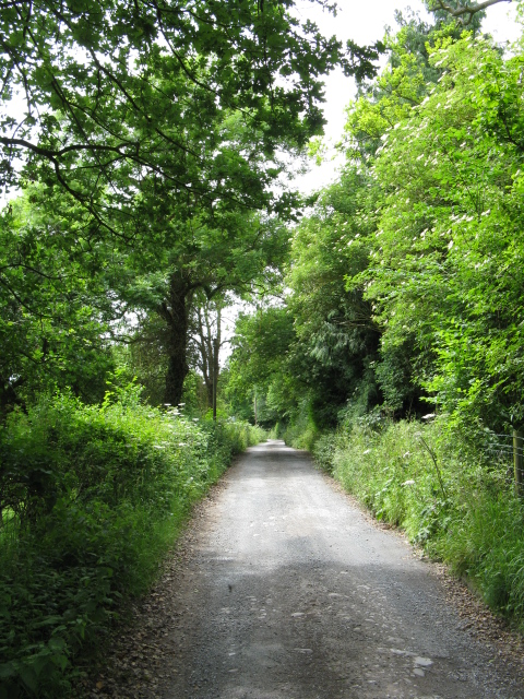
Image: © Peter Whatley Taken: 22 Jun 2009
This lower portion of the track also provides access to several houses and is to a considerably better standard than the upper section.
Images are licensed for reuse under creativecommons.org/licenses/by-sa/2.0
Image Location
Latitude
52.186814
Longitude
-2.720196