B?gh a' Chaisteil
Introduction
The photograph on this page of B?gh a' Chaisteil by Anne Burgess as part of the Geograph project.
The Geograph project started in 2005 with the aim of publishing, organising and preserving representative images for every square kilometre of Great Britain, Ireland and the Isle of Man.

There are currently over 7.5m images from over 14,400 individuals and you can help contribute to the project by visiting https://www.geograph.org.uk
B?gh a' Chaisteil
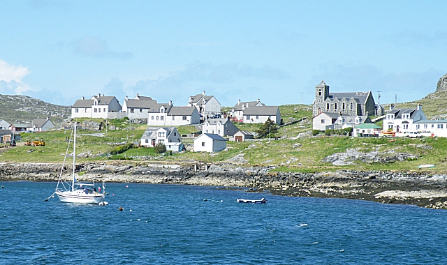
Image: © Anne Burgess Taken: 26 May 2009
This is the part of Castlebay west of the pier and village centre. the church does not seem to be currently in use as such.
Images are licensed for reuse under creativecommons.org/licenses/by-sa/2.0
Image Location
Latitude
56.955907
Longitude
-7.49175