2009 : Cromhall Lane near Lower Easton Piercy Farm
Introduction
The photograph on this page of 2009 : Cromhall Lane near Lower Easton Piercy Farm by Maurice Pullin as part of the Geograph project.
The Geograph project started in 2005 with the aim of publishing, organising and preserving representative images for every square kilometre of Great Britain, Ireland and the Isle of Man.

There are currently over 7.5m images from over 14,400 individuals and you can help contribute to the project by visiting https://www.geograph.org.uk
2009 : Cromhall Lane near Lower Easton Piercy Farm
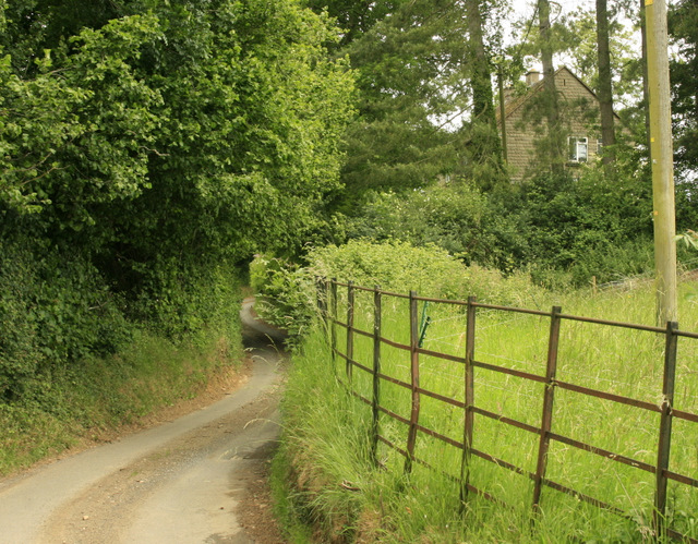
Image: © Maurice Pullin Taken: 20 Jun 2009
Almost a back to back shot with Image Kington St. Michael is about half a mile further on.
Images are licensed for reuse under creativecommons.org/licenses/by-sa/2.0
Image Location
Latitude
51.495348
Longitude
-2.156098