Fields between Hutton and Mountnessing
Introduction
The photograph on this page of Fields between Hutton and Mountnessing by Graham Loveland as part of the Geograph project.
The Geograph project started in 2005 with the aim of publishing, organising and preserving representative images for every square kilometre of Great Britain, Ireland and the Isle of Man.

There are currently over 7.5m images from over 14,400 individuals and you can help contribute to the project by visiting https://www.geograph.org.uk
Fields between Hutton and Mountnessing
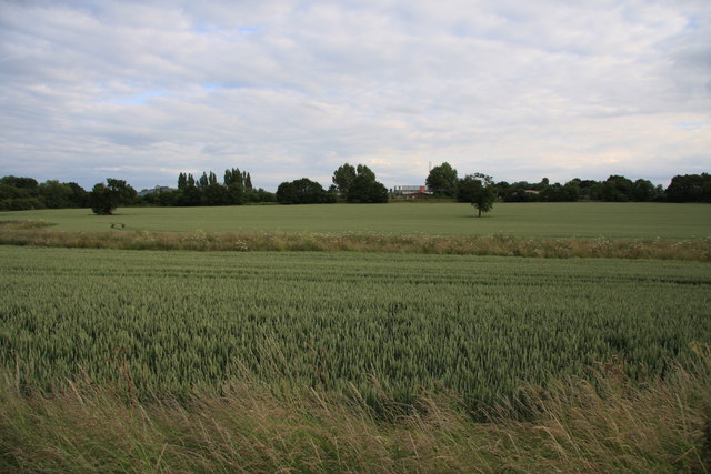
Image: © Graham Loveland Taken: 20 Jun 2009
View looking south back towards Hutton Trading Estate from near the junction of Arnold' Farm Lane with Lower Road.
Images are licensed for reuse under creativecommons.org/licenses/by-sa/2.0
Image Location


Leaflet Map data © OpenStreetMap
Latitude
51.641481
Longitude
0.356282