Raised Pavement - Fore Street Bradninch
Introduction
The photograph on this page of Raised Pavement - Fore Street Bradninch by Sarah Smith as part of the Geograph project.
The Geograph project started in 2005 with the aim of publishing, organising and preserving representative images for every square kilometre of Great Britain, Ireland and the Isle of Man.

There are currently over 7.5m images from over 14,400 individuals and you can help contribute to the project by visiting https://www.geograph.org.uk
Raised Pavement - Fore Street Bradninch
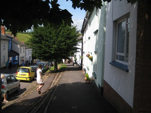
Image: © Sarah Smith Taken: 20 Jun 2009
It is curious to note that the pavement has four kerbs at differing heights. It would be interesting to learn what the original design of the pavement was like and what has happened over the years.
Images are licensed for reuse under creativecommons.org/licenses/by-sa/2.0
Image Location
Latitude
50.827782
Longitude
-3.420373