Swanage: looking down Stafford Road
Introduction
The photograph on this page of Swanage: looking down Stafford Road by Chris Downer as part of the Geograph project.
The Geograph project started in 2005 with the aim of publishing, organising and preserving representative images for every square kilometre of Great Britain, Ireland and the Isle of Man.

There are currently over 7.5m images from over 14,400 individuals and you can help contribute to the project by visiting https://www.geograph.org.uk
Swanage: looking down Stafford Road
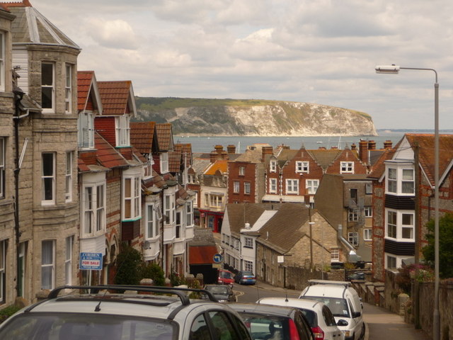
Image: © Chris Downer Taken: 21 Jun 2009
Stafford Road heads directly into the town centre, at the bottom of the hill. Beyond, we see the cliff face of Ballard Down jutting out beyond the bay.
Images are licensed for reuse under creativecommons.org/licenses/by-sa/2.0
Image Location


Leaflet Map data © OpenStreetMap
Latitude
50.607559
Longitude
-1.957552