West Stafford: Barton Road
Introduction
The photograph on this page of West Stafford: Barton Road by Chris Downer as part of the Geograph project.
The Geograph project started in 2005 with the aim of publishing, organising and preserving representative images for every square kilometre of Great Britain, Ireland and the Isle of Man.

There are currently over 7.5m images from over 14,400 individuals and you can help contribute to the project by visiting https://www.geograph.org.uk
West Stafford: Barton Road
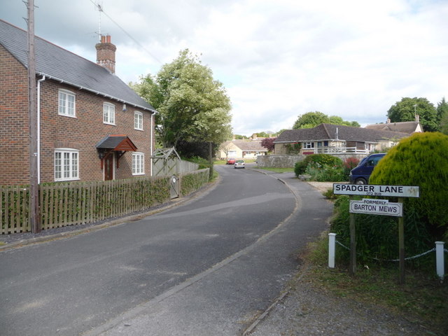
Image: © Chris Downer Taken: 20 Jun 2009
A small lane that leads to a little sheltered housing development. On the right we see the signpost for the interestingly named Spadger Lane (complete with full postcode) which was formerly Barton Mews.
Images are licensed for reuse under creativecommons.org/licenses/by-sa/2.0
Image Location


Leaflet Map data © OpenStreetMap
Latitude
50.705386
Longitude
-2.389383