Chirnside Place
Introduction
The photograph on this page of Chirnside Place by Richard Webb as part of the Geograph project.
The Geograph project started in 2005 with the aim of publishing, organising and preserving representative images for every square kilometre of Great Britain, Ireland and the Isle of Man.

There are currently over 7.5m images from over 14,400 individuals and you can help contribute to the project by visiting https://www.geograph.org.uk
Chirnside Place
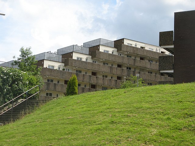
Image: © Richard Webb Taken: 16 Jun 2009
Stepped flats with deck access built on a hillside. There are six blocks set in parkland.
Images are licensed for reuse under creativecommons.org/licenses/by-sa/2.0
Image Location
Latitude
55.853563
Longitude
-4.359127