Sandwood Road
Introduction
The photograph on this page of Sandwood Road by Richard Webb as part of the Geograph project.
The Geograph project started in 2005 with the aim of publishing, organising and preserving representative images for every square kilometre of Great Britain, Ireland and the Isle of Man.

There are currently over 7.5m images from over 14,400 individuals and you can help contribute to the project by visiting https://www.geograph.org.uk
Sandwood Road
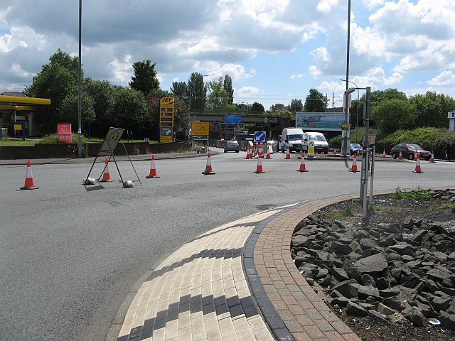
Image: © Richard Webb Taken: 16 Jun 2009
View from the middle of a busy road. The roundabout is reduced to one lane due to work to reinstate the missing central deck of the railway bridge to accommodate a third track between Shields Junction and Arkleston Junction.
Images are licensed for reuse under creativecommons.org/licenses/by-sa/2.0
Image Location
Latitude
55.855901
Longitude
-4.363743