Former St Botolph's Primary School
Introduction
The photograph on this page of Former St Botolph's Primary School by Ian Paterson as part of the Geograph project.
The Geograph project started in 2005 with the aim of publishing, organising and preserving representative images for every square kilometre of Great Britain, Ireland and the Isle of Man.

There are currently over 7.5m images from over 14,400 individuals and you can help contribute to the project by visiting https://www.geograph.org.uk
Former St Botolph's Primary School
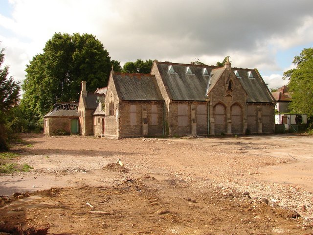
Image: © Ian Paterson Taken: 21 Jun 2009
Shortly after its closure and relocation to a modern school further west, the school was vandalised and set alight, remaining in a semi-derelict condition for a number of years. The temporary accommodation near the front has since been removed and the playground grubbed up, so something new may be happening here very soon.
Images are licensed for reuse under creativecommons.org/licenses/by-sa/2.0
Image Location
Latitude
52.994046
Longitude
-0.411293