Oxford Road Manchester
Introduction
The photograph on this page of Oxford Road Manchester by Simon Johnston as part of the Geograph project.
The Geograph project started in 2005 with the aim of publishing, organising and preserving representative images for every square kilometre of Great Britain, Ireland and the Isle of Man.

There are currently over 7.5m images from over 14,400 individuals and you can help contribute to the project by visiting https://www.geograph.org.uk
Oxford Road Manchester
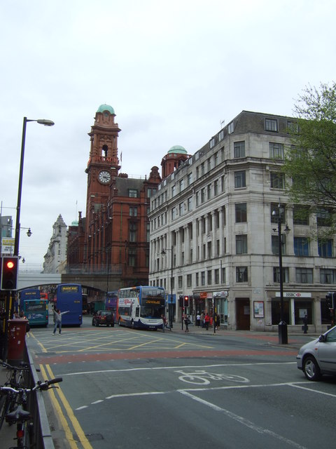
Image: © Simon Johnston Taken: 28 Apr 2009
The red brick building with clocktower is the Refuge Assurance Building.
Images are licensed for reuse under creativecommons.org/licenses/by-sa/2.0
Image Location
Latitude
53.473085
Longitude
-2.242517