Housing at Chillaton
Introduction
The photograph on this page of Housing at Chillaton by Derek Harper as part of the Geograph project.
The Geograph project started in 2005 with the aim of publishing, organising and preserving representative images for every square kilometre of Great Britain, Ireland and the Isle of Man.

There are currently over 7.5m images from over 14,400 individuals and you can help contribute to the project by visiting https://www.geograph.org.uk
Housing at Chillaton
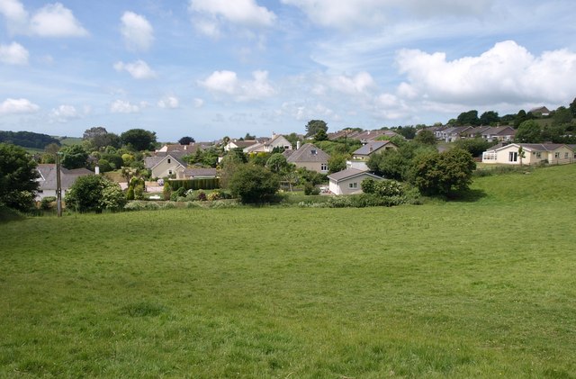
Image: © Derek Harper Taken: 16 Jun 2009
Houses around Coleridge Lane in Chillington, seen from Stokenham Footpath 12.
Images are licensed for reuse under creativecommons.org/licenses/by-sa/2.0
Image Location
Latitude
50.273718
Longitude
-3.693754