Hulne Park, east of Shipley (2)
Introduction
The photograph on this page of Hulne Park, east of Shipley (2) by Andy F as part of the Geograph project.
The Geograph project started in 2005 with the aim of publishing, organising and preserving representative images for every square kilometre of Great Britain, Ireland and the Isle of Man.

There are currently over 7.5m images from over 14,400 individuals and you can help contribute to the project by visiting https://www.geograph.org.uk
Hulne Park, east of Shipley (2)
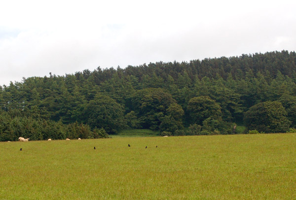
Image: © Andy F Taken: 15 Jun 2009
Looking southeast from a field east of the farming hamlet of Shipley towards Hulne Park, the Duke of Northumberland's estate.
Images are licensed for reuse under creativecommons.org/licenses/by-sa/2.0
Image Location


Leaflet Map data © OpenStreetMap
Latitude
55.445653
Longitude
-1.763644