The eastern perimeter of Melton Mowbray Airfield
Introduction
The photograph on this page of The eastern perimeter of Melton Mowbray Airfield by Mat Fascione as part of the Geograph project.
The Geograph project started in 2005 with the aim of publishing, organising and preserving representative images for every square kilometre of Great Britain, Ireland and the Isle of Man.

There are currently over 7.5m images from over 14,400 individuals and you can help contribute to the project by visiting https://www.geograph.org.uk
The eastern perimeter of Melton Mowbray Airfield
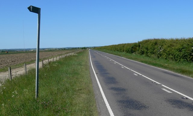
Image: © Mat Fascione Taken: 1 Jun 2009
The road is the B6047 Dalby Road and is heading towards the market town of Melton Mowbray. The footpath leads to the village of Great Dalby.
Images are licensed for reuse under creativecommons.org/licenses/by-sa/2.0
Image Location
Latitude
52.727736
Longitude
-0.892197