Finstown Pier
Introduction
The photograph on this page of Finstown Pier by Bob Jones as part of the Geograph project.
The Geograph project started in 2005 with the aim of publishing, organising and preserving representative images for every square kilometre of Great Britain, Ireland and the Isle of Man.

There are currently over 7.5m images from over 14,400 individuals and you can help contribute to the project by visiting https://www.geograph.org.uk
Finstown Pier
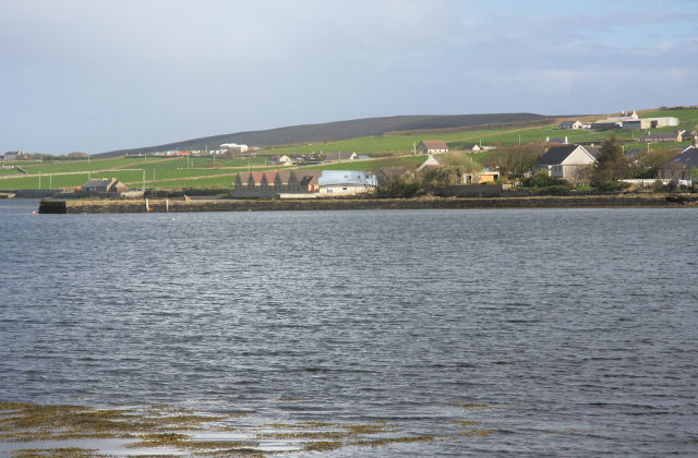
Image: © Bob Jones Taken: 1 May 2009
This privately-owned pier, which is no longer used, projects into the Bay of Firth from the east end of the village of Finstown. It was once a port of call for passenger steamers and cargo vessels.
Images are licensed for reuse under creativecommons.org/licenses/by-sa/2.0
Image Location
Latitude
59.005364
Longitude
-3.10961