Verwood, Bugden's Copse
Introduction
The photograph on this page of Verwood, Bugden's Copse by Mike Faherty as part of the Geograph project.
The Geograph project started in 2005 with the aim of publishing, organising and preserving representative images for every square kilometre of Great Britain, Ireland and the Isle of Man.

There are currently over 7.5m images from over 14,400 individuals and you can help contribute to the project by visiting https://www.geograph.org.uk
Verwood, Bugden's Copse
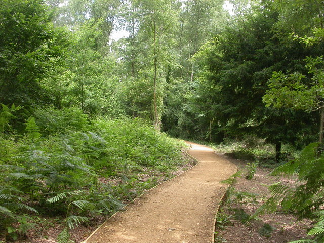
Image: © Mike Faherty Taken: 20 Jun 2009
East of Verwood village, West of modern suburban housing, an oasis of tranquillity. According to an information board, the last vestige of Fayre Wood, from which Verwood derives its name. Once the source of wood for furniture and fuel, coppiced; now sympathetically managed. Local Nature Reserve & SSSI. http://195.49.180.81/index.jsp?articleid=330160
Images are licensed for reuse under creativecommons.org/licenses/by-sa/2.0
Image Location
Latitude
50.878629
Longitude
-1.876289