Morley Smithy
Introduction
The photograph on this page of Morley Smithy by Rob Bradford as part of the Geograph project.
The Geograph project started in 2005 with the aim of publishing, organising and preserving representative images for every square kilometre of Great Britain, Ireland and the Isle of Man.

There are currently over 7.5m images from over 14,400 individuals and you can help contribute to the project by visiting https://www.geograph.org.uk
Morley Smithy
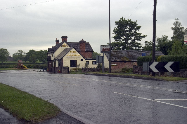
Image: © Rob Bradford Taken: 30 May 2005
Morley Smithy, road junction with Brick Kiln Lane and the A608 Derby to Heanor Road. The Three Horse Shoes public House is also plainly visible.
Images are licensed for reuse under creativecommons.org/licenses/by-sa/2.0
Image Location


Leaflet Map data © OpenStreetMap
Latitude
52.969417
Longitude
-1.414784