Verwood, war memorial
Introduction
The photograph on this page of Verwood, war memorial by Mike Faherty as part of the Geograph project.
The Geograph project started in 2005 with the aim of publishing, organising and preserving representative images for every square kilometre of Great Britain, Ireland and the Isle of Man.

There are currently over 7.5m images from over 14,400 individuals and you can help contribute to the project by visiting https://www.geograph.org.uk
Verwood, war memorial
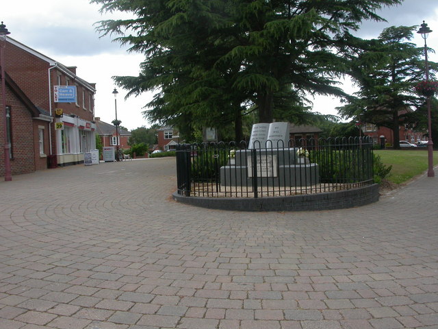
Image: © Mike Faherty Taken: 20 Jun 2009
On the edge of open space in the village centre, at the junction of Manor, Station and Ringwood Roads; granite, without reference to names or wars.
Images are licensed for reuse under creativecommons.org/licenses/by-sa/2.0
Image Location
Latitude
50.881509
Longitude
-1.878272