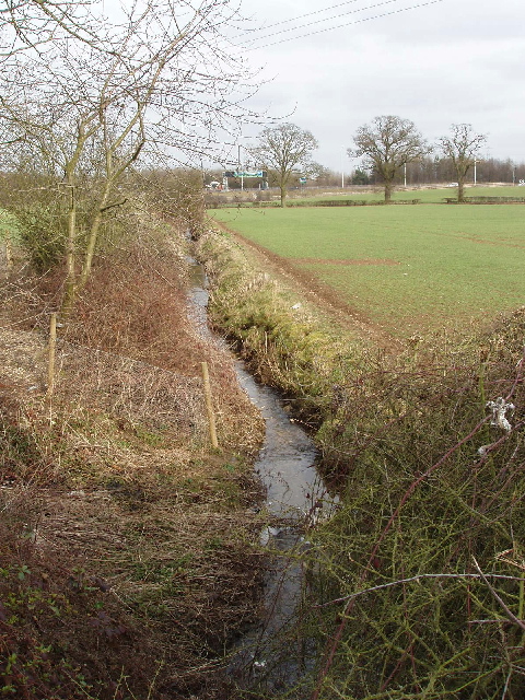
Stream by Blanche Lane, Ridge
Introduction
The photograph on this page of Stream by Blanche Lane, Ridge by David Hawgood as part of the Geograph project.
The Geograph project started in 2005 with the aim of publishing, organising and preserving representative images for every square kilometre of Great Britain, Ireland and the Isle of Man.
There are currently over 7.5m images from over 14,400 individuals and you can help contribute to the project by visiting https://www.geograph.org.uk

Image: © David Hawgood Taken: 12 Mar 2006
Water from this stream goes into Mimmshall Brook - and then into sinkholes. Hertfordshire County Council Landscape Character Assessment tells us: "Water End swallowholes (SSSI) are major sinkholes in chalk and a permanent landscape feature. The site, which is the largest in England, consists of a group of more than 15 sinkholes where two streams drain from the London clay and sink very close to the boundary of a chalk outcrop. During heavy rainfall a lake accumulates in the basin but is only temporary. This flow is the spring source for Chadwell at Ware (New River), and overflows westwards into the Colne (the Mimmshall Brook at Water End). Ponds at Welham Green are connected underground. A number of small ponds on the higher ground are associated with the farms and woodlands." The photo is the view east towards the A1.

