Shadwell Basin
Introduction
The photograph on this page of Shadwell Basin by Danny P Robinson as part of the Geograph project.
The Geograph project started in 2005 with the aim of publishing, organising and preserving representative images for every square kilometre of Great Britain, Ireland and the Isle of Man.

There are currently over 7.5m images from over 14,400 individuals and you can help contribute to the project by visiting https://www.geograph.org.uk
Shadwell Basin
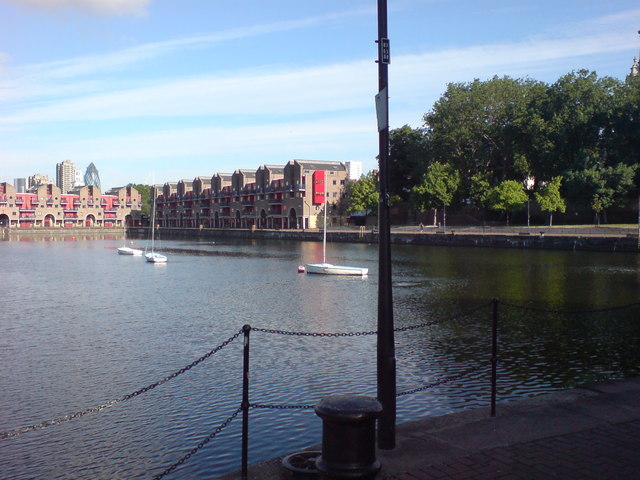
Image: © Danny P Robinson Taken: 18 Jun 2009
Picture taken from just off Glamis Road, near Peartree Lane and the Bascule Bridge.
Images are licensed for reuse under creativecommons.org/licenses/by-sa/2.0
Image Location
Latitude
51.508164
Longitude
-0.053248