Woodtown, near East the Water.
Introduction
The photograph on this page of Woodtown, near East the Water. by Roger A Smith as part of the Geograph project.
The Geograph project started in 2005 with the aim of publishing, organising and preserving representative images for every square kilometre of Great Britain, Ireland and the Isle of Man.

There are currently over 7.5m images from over 14,400 individuals and you can help contribute to the project by visiting https://www.geograph.org.uk
Woodtown, near East the Water.
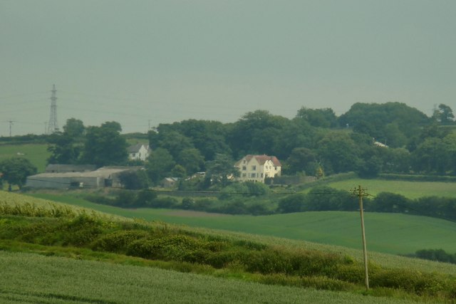
Image: © Roger A Smith Taken: 12 Jun 2009
The building in the centre is Bron-Y-Garth. A glimpse of the roof of Woodtown House can be seen in the trees to the right. Woodtown farm is on the left.
Images are licensed for reuse under creativecommons.org/licenses/by-sa/2.0
Image Location
Latitude
51.013137
Longitude
-4.154239