Murray Heugh
Introduction
The photograph on this page of Murray Heugh by Anne Burgess as part of the Geograph project.
The Geograph project started in 2005 with the aim of publishing, organising and preserving representative images for every square kilometre of Great Britain, Ireland and the Isle of Man.

There are currently over 7.5m images from over 14,400 individuals and you can help contribute to the project by visiting https://www.geograph.org.uk
Murray Heugh
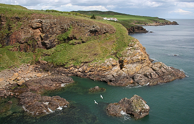
Image: © Anne Burgess Taken: 19 Jun 2009
Murray Heugh is the name given to the next headland on the 1:25,000 map. Beyond it, and in the next square, are some of the houses of Newtonhill.
Images are licensed for reuse under creativecommons.org/licenses/by-sa/2.0
Image Location
Latitude
57.027129
Longitude
-2.145109